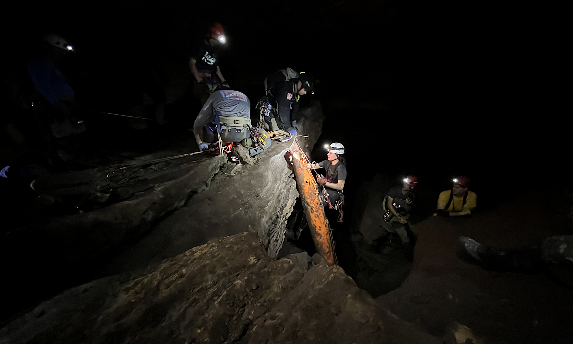
Navigation is critical during any rescue. Local knowledge of an area matters, but it also helps to have maps, and such tools can be especially important during a cave rescue.
In the TAG (Tennessee Alabama Georgia) area, dedicated organizations such as the Tennessee Cave Survey, Alabama Cave Survey, and Georgia Speleological Survey work to survey regional caves and produce maps. While these maps are not public documents, they are important resources for scientists studying karst features and for rescue squads that extract patients after accidents.
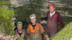
RAT-SAR charter member Jason Lovvorn has recently been learning the art of cave mapping—including survey work, map sketching, and map production—under the tutelage of Ken Oeser, who has mapped 270 caves (over 65 miles), mostly in the state of Tennessee. So far, Lovvorn has worked on three surveys connected to TCS maps, and he hopes to contribute to many more such efforts in 2020.