![]()
RAT-SAR is still responding but with limited resources due to the COVID-19 outbreak. If your agency needs assistance, please do not hesitate to contact us.
Randall's Adventure & Training Search and Rescue
![]()
RAT-SAR is still responding but with limited resources due to the COVID-19 outbreak. If your agency needs assistance, please do not hesitate to contact us.
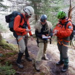
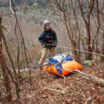
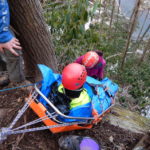
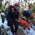
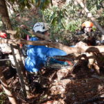
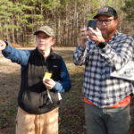
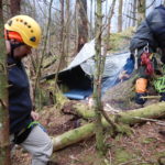
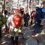
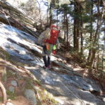
With the hiking and backpacking season fast approaching, members of RAT-SAR spent the weekend with Haywood county (NC) wilderness SAR team training for search and rescue operations in the mountains of western North Carolina. Mission planning, mapping, searching, patient packaging, and rescue raises and lowers were practiced. It’s always great sharing knowledge and working with the professionals of Haywood County SAR.
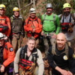
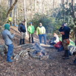
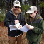
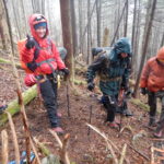
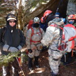
Several members of the RAT-SAR team worked the weekend training the newly formed Lawrence County Sheriff’s Office Multi-Agency SAR team. Lawrence county covers a large portion of the Sipsey Wilderness in the Bankhead National Forest. This wilderness area includes rugged terrain, high angle elevation and numerous watercourses and waterfalls. We completed a 2-day land navigation course this weekend and will be rolling out a tracking/clue awareness course and survival course next. From there we will move towards field team member certifications and specialized rescue courses designed around the terrain found in the Sipsey Wilderness. RAT-SAR will be assisting Lawrence County in future callouts to the Bankhead National Forest, as well helping to organize SAR efforts in the area.
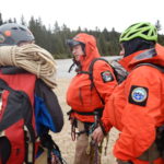
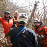
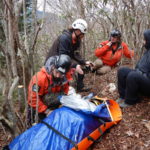
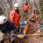
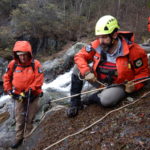
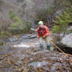
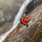
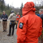
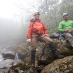
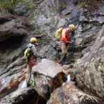
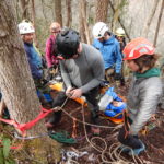
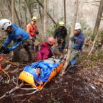
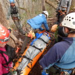
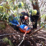
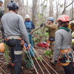
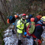
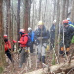
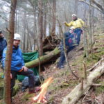
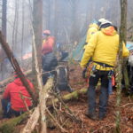
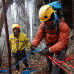
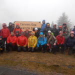
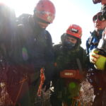
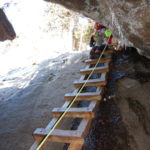
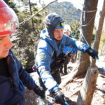
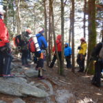
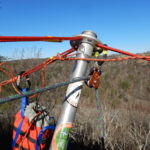
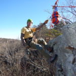
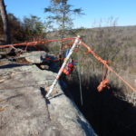
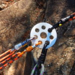
Round two of North Carolina’s Mountain Rescue class (MSAR) brought together team members from various SAR organizations for 3-days of training in the North Carolina mountains. This Operations level class is all about patient access, packaging, movement, lowers and raises in a high-angle environment.
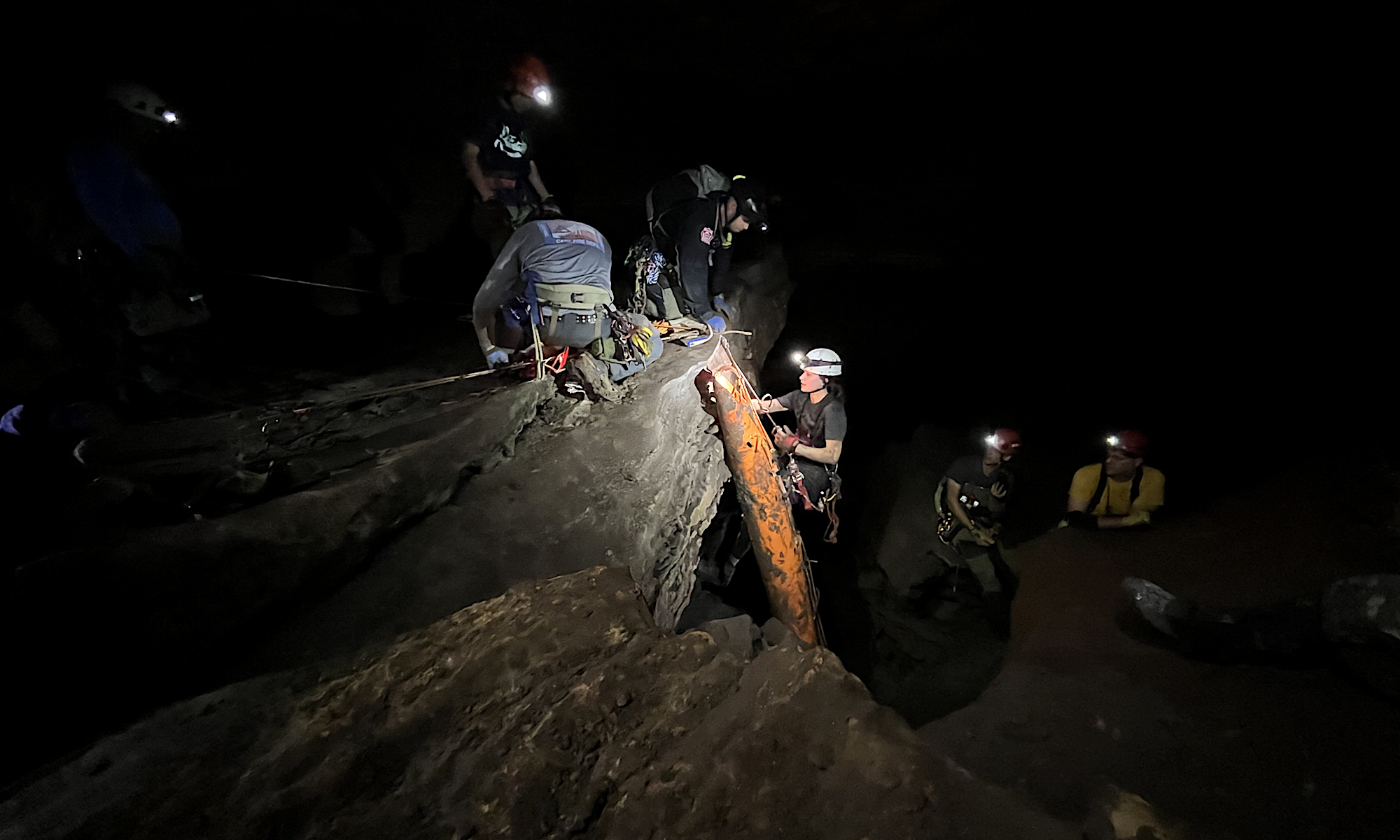
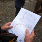
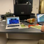
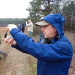
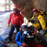
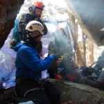
Navigation is critical during any rescue. Local knowledge of an area matters, but it also helps to have maps, and such tools can be especially important during a cave rescue.
In the TAG (Tennessee Alabama Georgia) area, dedicated organizations such as the Tennessee Cave Survey, Alabama Cave Survey, and Georgia Speleological Survey work to survey regional caves and produce maps. While these maps are not public documents, they are important resources for scientists studying karst features and for rescue squads that extract patients after accidents.
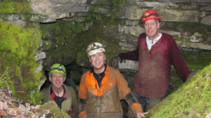
RAT-SAR charter member Jason Lovvorn has recently been learning the art of cave mapping—including survey work, map sketching, and map production—under the tutelage of Ken Oeser, who has mapped 270 caves (over 65 miles), mostly in the state of Tennessee. So far, Lovvorn has worked on three surveys connected to TCS maps, and he hopes to contribute to many more such efforts in 2020.
RAT-SAR recently conducted a 4-hour Introduction to Search and Rescue class for C.E.R.T. personnel (Community Emergency Response Team) in Whitfield County GA. Topics covered were basic wilderness survival, putting together a kit or backpack to have while assisting with SAR callouts, and basic human tracking, clue awareness, and grid searches. The class was divided up into two evening sessions, the first in the classroom, and the second in the field. We will be doing some basic Land Navigation with them sometime this summer.
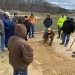
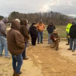
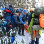
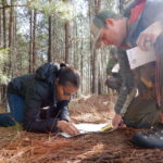
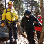
RAT-SAR instructors trained up another 17 students this past weekend in the art of land navigation. This is a crucial skill for adventurers and SAR technicians working in the backcountry. While we all love the convenience of electronic devices, never trust them as your only means of navigation. Learning how to use map and compass in concert with GPS or smartphone apps can mean the difference between life and death when batteries die or GPS coverage becomes spotty. Always have a map and compass and know how to use it. As with most technical talents, land navigation is a perishable skill, so be sure to brush-up and practice before heading out.

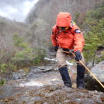
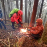
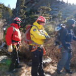
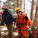
RAT-SAR Team members recently participated in a Mountain SAR rescue class in North Carolina along with other search and rescue teams. The 3-day class introduced students to the exposure and remote areas often seen during mountain SAR operations. With a peak recorded wind gust of 76 MPH and temperatures that dropped to 18 degrees, the class delivered crucial training, as well as networking among teams who often work together in the Western North Carolina and Smoky Mountain regions.
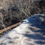
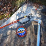
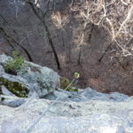
Members of RAT-SAR placed several much-needed bolts at Buck’s Pocket state park (with the park’s blessings). Although most rescues and recoveries are performed by other teams at the park, the bolts will make future rigging cleaner, safer, and more efficient.
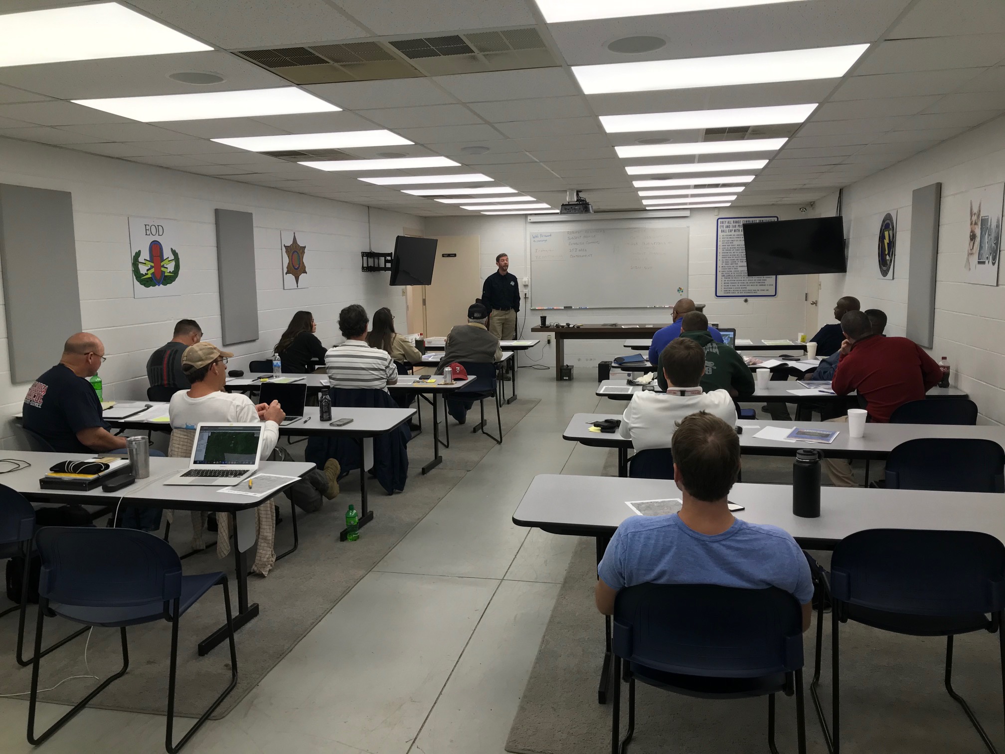
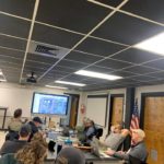
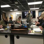
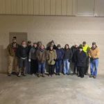
RAT-SAR members, along with Lodestar Professional Services, completed an expanded NASAR Initial Actions class this week with Tuscaloosa county (one of our areas of response). Present in the class were deputies with the Tuscaloosa Sheriff’s Office, Tuscaloosa Fire Department rescue techs, and Tuscaloosa EMA. Awesome class with a great group of motivated and dedicated professionals. It was a true honor and pleasure working with them on SAR Initial Actions.